
丁家楼 topographic map
Interactive map
Click on the map to display elevation.
About this map
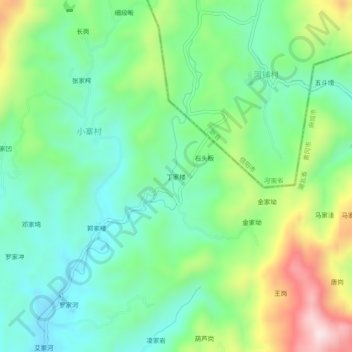
Name: 丁家楼 topographic map, elevation, terrain.
Location: 丁家楼, 小寨村, 麻城市, 黄冈市, 湖北省, 中国 (31.45399 114.95770 31.49399 114.99770)
Average elevation: 902 ft
Minimum elevation: 443 ft
Maximum elevation: 1,883 ft