
Delegación Felipe Carrillo Puerto topographic map
Interactive map
Click on the map to display elevation.
About this map
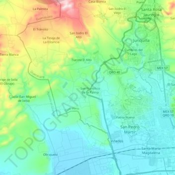
Name: Delegación Felipe Carrillo Puerto topographic map, elevation, terrain.
Average elevation: 6,381 ft
Minimum elevation: 5,863 ft
Maximum elevation: 8,084 ft
Other topographic maps
Click on a map to view its topography, its elevation and its terrain.
San Francisco de la Palma
México > Querétaro > Municipio de Querétaro > San Francisco de la Palma
San Francisco de la Palma, Municipio de Querétaro, Querétaro, 76230, México
Average elevation: 6,161 ft