
Reina topographic map
Interactive map
Click on the map to display elevation.
About this map
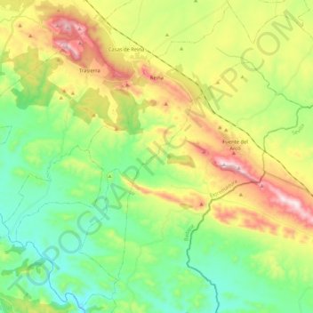
Name: Reina topographic map, elevation, terrain.
Location: Reina, Badajoz, Extremadura, Spagna (38.06582 -6.04394 38.22548 -5.83436)
Average elevation: 1,883 ft
Minimum elevation: 1,171 ft
Maximum elevation: 3,123 ft