
San Miguel de Allende topographic map
Interactive map
Click on the map to display elevation.
About this map
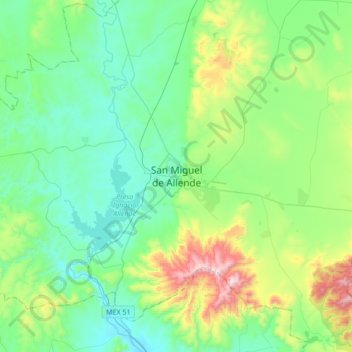
Name: San Miguel de Allende topographic map, elevation, terrain.
Location: San Miguel de Allende, Guanajuato, 3700, Mexico (20.75422 -100.90378 21.07422 -100.58378)
Average elevation: 6,657 ft
Minimum elevation: 5,909 ft
Maximum elevation: 9,154 ft