
Zwerndorf topographic map
Interactive map
Click on the map to display elevation.
About this map
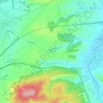
Name: Zwerndorf topographic map, elevation, terrain.
Location: Zwerndorf, St. Pölten, Niederösterreich, 3140, Österreich (48.20834 15.70394 48.24834 15.74394)
Average elevation: 883 ft
Minimum elevation: 709 ft
Maximum elevation: 1,289 ft