
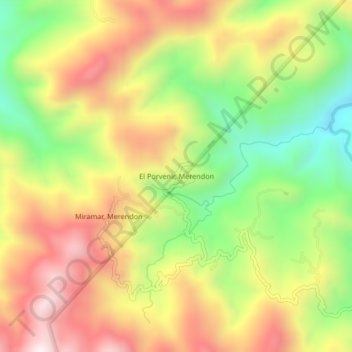
El Porvenir, Merendon topographic map
Interactive map
Click on the map to display elevation.
About this map
Name: El Porvenir, Merendon topographic map, elevation, terrain.
Location: El Porvenir, Merendon, San Pedro Sula, Cortés, Honduras (15.54310 -88.21655 15.58310 -88.17655)
Average elevation: 2,746 ft
Minimum elevation: 1,427 ft
Maximum elevation: 4,045 ft