
Gosnold topographic map
Interactive map
Click on the map to display elevation.
About this map
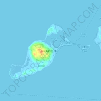
Name: Gosnold topographic map, elevation, terrain.
Location: Gosnold, Dukes County, Massachusetts, 02713, United States (41.40123 -70.94897 41.44123 -70.90897)
Average elevation: 3 ft
Minimum elevation: -33 ft
Maximum elevation: 118 ft