
Destacamiento Militar General Eugenio Alejandrino Garay topographic map
Interactive map
Click on the map to display elevation.
About this map
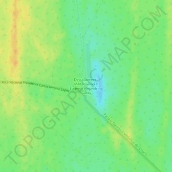
Name: Destacamiento Militar General Eugenio Alejandrino Garay topographic map, elevation, terrain.
Average elevation: 1,175 ft
Minimum elevation: 1,129 ft
Maximum elevation: 1,220 ft