
Tyler topographic map
Interactive map
Click on the map to display elevation.
About this map
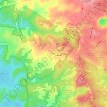
Name: Tyler topographic map, elevation, terrain.
Location: Tyler, Baltimore County, Maryland, United States (39.40760 -76.87331 39.44760 -76.83331)
Average elevation: 581 ft
Minimum elevation: 390 ft
Maximum elevation: 728 ft