
Aljezur topographic map
Interactive map
Click on the map to display elevation.
About this map
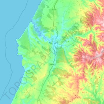
Name: Aljezur topographic map, elevation, terrain.
Location: Aljezur, Faro, Algarve, Portugal (37.21609 -8.87871 37.38380 -8.69818)
Average elevation: 338 ft
Minimum elevation: -3 ft
Maximum elevation: 1,194 ft