
Spijk topographic map
Interactive map
Click on the map to display elevation.
About this map
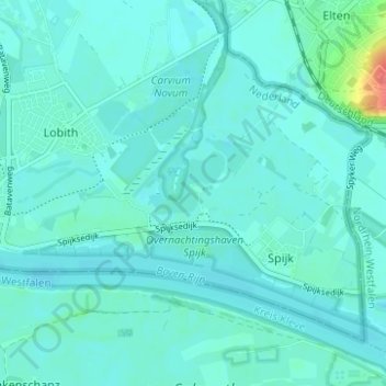
Name: Spijk topographic map, elevation, terrain.
Location: Spijk, Zevenaar, Gelderland, Nederland (51.84072 6.10514 51.87017 6.16725)
Average elevation: 49 ft
Minimum elevation: 23 ft
Maximum elevation: 220 ft
Other topographic maps
Click on a map to view its topography, its elevation and its terrain.
Oud-Zevenaar
Nederland > Gelderland > Zevenaar
Oud-Zevenaar, Zevenaar, Gelderland, Nederland, 6905 AJ, Nederland
Average elevation: 39 ft