
As Pontes de García Rodríguez topographic map
Interactive map
Click on the map to display elevation.
About this map
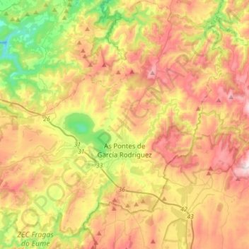
Name: As Pontes de García Rodríguez topographic map, elevation, terrain.
Location: As Pontes de García Rodríguez, A Corogne, Galice, Espagne (43.37025 -8.01359 43.57051 -7.74416)
Average elevation: 1,483 ft
Minimum elevation: 295 ft
Maximum elevation: 2,769 ft