
Thank you for supporting this site ❤️
Make a donation
Make a donation
Gear up for your next adventure:
As an Amazon Associate, this site earns from qualifying purchases at no extra cost to you.
Provence topographic map
Click on the map to display elevation.
Thank you for supporting this site ❤️
Make a donation
Make a donation
Gear up for your next adventure:
As an Amazon Associate, this site earns from qualifying purchases at no extra cost to you.
About this map
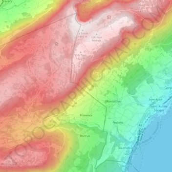
Name: Provence topographic map, elevation, terrain.
Location: Provence, District du Jura-Nord vaudois, Vaud, 1428, Switzerland (46.87235 6.63021 46.93609 6.74011)
Average elevation: 3,186 ft
Minimum elevation: 1,385 ft
Maximum elevation: 4,787 ft
Thank you for supporting this site ❤️
Make a donation
Make a donation
Gear up for your next adventure:
As an Amazon Associate, this site earns from qualifying purchases at no extra cost to you.