
Limatambo topographic map
Interactive map
Click on the map to display elevation.
About this map
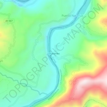
Name: Limatambo topographic map, elevation, terrain.
Location: Limatambo, Provincia de La Convención, Cuzco, Perú (-12.97876 -73.52892 -12.93876 -73.48892)
Average elevation: 2,802 ft
Minimum elevation: 2,133 ft
Maximum elevation: 4,216 ft