
Cerro Tuzgle topographic map
Interactive map
Click on the map to display elevation.
About this map
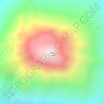
Name: Cerro Tuzgle topographic map, elevation, terrain.
Average elevation: 16,503 ft
Minimum elevation: 15,289 ft
Maximum elevation: 18,061 ft
Other topographic maps
Click on a map to view its topography, its elevation and its terrain.
Arizaro
Argentina > Jujuy > Municipio de Susques
Arizaro, Municipio de Susques, Departamento Susques, Jujuy, Argentina
Average elevation: 13,852 ft