
Anandapuram topographic map
Interactive map
Click on the map to display elevation.
About this map
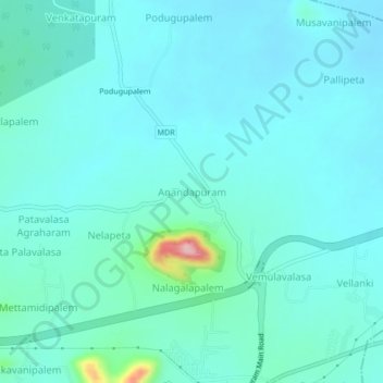
Name: Anandapuram topographic map, elevation, terrain.
Location: Anandapuram, Visakhapatnam, Andhra Pradesh, 530052, India (17.88389 83.35050 17.92389 83.39050)
Average elevation: 108 ft
Minimum elevation: 26 ft
Maximum elevation: 614 ft
Other topographic maps
Click on a map to view its topography, its elevation and its terrain.
Dukkavanipalem
India > Andhra Pradesh > Anandapuram
Dukkavanipalem, Anandapuram, Visakhapatnam, Andhra Pradesh, 530052, India
Average elevation: 203 ft