
Schwenden topographic map
Interactive map
Click on the map to display elevation.
About this map
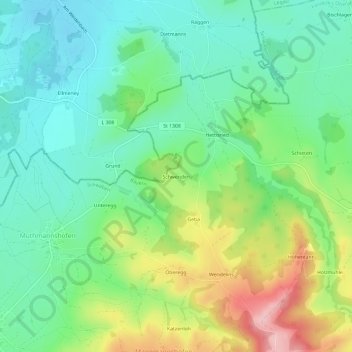
Name: Schwenden topographic map, elevation, terrain.
Location: Schwenden, Landkreis Oberallgäu, Souabe, Bavière, Allemagne (47.78134 10.09894 47.82134 10.13894)
Average elevation: 2,444 ft
Minimum elevation: 2,247 ft
Maximum elevation: 2,854 ft