
Iringa topographic map
Interactive map
Click on the map to display elevation.
About this map
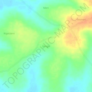
Name: Iringa topographic map, elevation, terrain.
Location: Iringa, Buyende, Eastern Region, Uganda (1.24667 32.99667 1.28667 33.03667)
Average elevation: 3,458 ft
Minimum elevation: 3,406 ft
Maximum elevation: 3,530 ft