
Tamuín topographic map
Interactive map
Click on the map to display elevation.
About this map
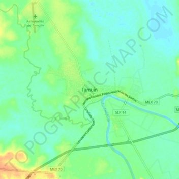
Name: Tamuín topographic map, elevation, terrain.
Location: Tamuín, San Luis Potosí, 79207, México (21.96593 -98.81951 22.04593 -98.73951)
Average elevation: 82 ft
Minimum elevation: 46 ft
Maximum elevation: 164 ft