
Mount Ida topographic map
Interactive map
Click on the map to display elevation.
About this map
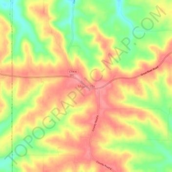
Name: Mount Ida topographic map, elevation, terrain.
Location: Mount Ida, Grant County, Wisconsin, United States (42.95193 -90.78096 42.99193 -90.74096)
Average elevation: 1,102 ft
Minimum elevation: 919 ft
Maximum elevation: 1,237 ft