
Oorbeek topographic map
Interactive map
Click on the map to display elevation.
About this map
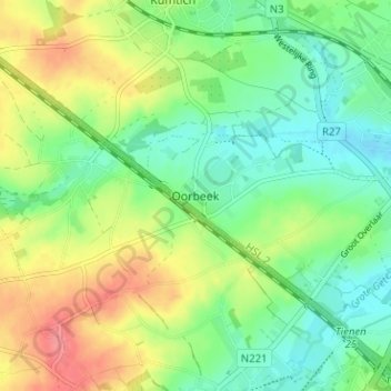
Name: Oorbeek topographic map, elevation, terrain.
Location: Oorbeek, Tienen, Vlaams-Brabant, Vlaanderen, 3300, België (50.77879 4.87105 50.81879 4.91105)
Average elevation: 223 ft
Minimum elevation: 135 ft
Maximum elevation: 354 ft