
Cerro Colorado topographic map
Interactive map
Click on the map to display elevation.
About this map
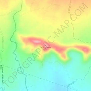
Name: Cerro Colorado topographic map, elevation, terrain.
Location: Cerro Colorado, Bágala, Distrito Boquerón, Chiriquí, Panamá (8.52895 -82.55934 8.52905 -82.55924)
Average elevation: 863 ft
Minimum elevation: 633 ft
Maximum elevation: 1,148 ft