
Glanntown topographic map
Interactive map
Click on the map to display elevation.
About this map
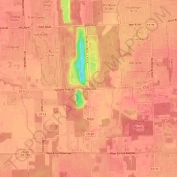
Name: Glanntown topographic map, elevation, terrain.
Location: Glanntown, Lucas, Ohio, 43617, United States of America (41.66823 -83.76262 41.70823 -83.72262)
Average elevation: 666 ft
Minimum elevation: 489 ft
Maximum elevation: 696 ft