
Lake Katinda topographic map
Interactive map
Click on the map to display elevation.
About this map
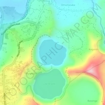
Name: Lake Katinda topographic map, elevation, terrain.
Average elevation: 3,648 ft
Minimum elevation: 3,333 ft
Maximum elevation: 4,285 ft
Other topographic maps
Click on a map to view its topography, its elevation and its terrain.
Lake Nkugute
Lake Nkugute, Mbarara - Kasese Road, Rugazi mission, Katara, Rubirizi, Western Region, Ouganda
Average elevation: 4,882 ft
Lake Mirambi
Lake Mirambi, Mbarara - Kasese Road, Rugazi mission, Katara, Rubirizi, Western Region, Ouganda
Average elevation: 3,816 ft
Lake Kyasanduka
Lake Kyasanduka, Mbarara - Kasese Road, Rugazi mission, Katara, Rubirizi, Western Region, Ouganda
Average elevation: 3,520 ft