
Alameda Poniente topographic map
Interactive map
Click on the map to display elevation.
About this map
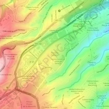
Name: Alameda Poniente topographic map, elevation, terrain.
Location: Alameda Poniente, Álvaro Obregón, Naucalpan, 01210, México (19.36785 -99.26062 19.37620 -99.25288)
Average elevation: 8,271 ft
Minimum elevation: 7,851 ft
Maximum elevation: 8,632 ft