
Clayton topographic map
Interactive map
Click on the map to display elevation.
About this map
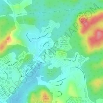
Name: Clayton topographic map, elevation, terrain.
Location: Clayton, Ancón, Distrito Panamá, C-0843-00793, Panamá (8.99759 -79.57845 9.01759 -79.55845)
Average elevation: 128 ft
Minimum elevation: 10 ft
Maximum elevation: 387 ft