
Aquara topographic map
Interactive map
Click on the map to display elevation.
About this map
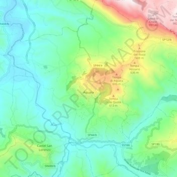
Name: Aquara topographic map, elevation, terrain.
Location: Aquara, Salerno, Campania, Italia (40.40479 15.20483 40.48644 15.28967)
Average elevation: 1,040 ft
Minimum elevation: 236 ft
Maximum elevation: 3,245 ft