
Cuatro Cantos topographic map
Interactive map
Click on the map to display elevation.
About this map
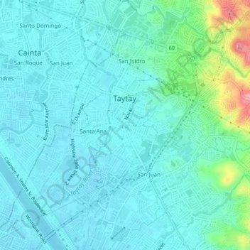
Name: Cuatro Cantos topographic map, elevation, terrain.
Location: Cuatro Cantos, Taytay, Rizal, Calabarzon, 1920, Philippines (14.54637 121.11210 14.58637 121.15210)
Average elevation: 75 ft
Minimum elevation: -3 ft
Maximum elevation: 449 ft