
Tenancingo topographic map
Interactive map
Click on the map to display elevation.
About this map
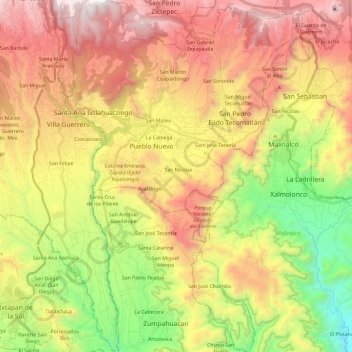
Name: Tenancingo topographic map, elevation, terrain.
Location: Tenancingo, Estado de México, México (18.81855 -99.64328 19.04121 -99.49095)
Average elevation: 6,736 ft
Minimum elevation: 3,934 ft
Maximum elevation: 9,656 ft