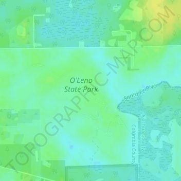
O'Leno State Park topographic map
Interactive map
Click on the map to display elevation.
About this map
Name: O'Leno State Park topographic map, elevation, terrain.
Average elevation: 59 ft
Minimum elevation: 36 ft
Maximum elevation: 92 ft

Click on the map to display elevation.
Name: O'Leno State Park topographic map, elevation, terrain.
Average elevation: 59 ft
Minimum elevation: 36 ft
Maximum elevation: 92 ft