
Santa Ana Chiautempan topographic map
Interactive map
Click on the map to display elevation.
About this map
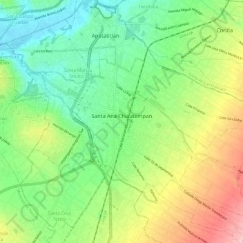
Name: Santa Ana Chiautempan topographic map, elevation, terrain.
Location: Santa Ana Chiautempan, Chiautempan, Tlaxcala, México (19.29607 -98.21865 19.32916 -98.16037)
Average elevation: 7,552 ft
Minimum elevation: 7,329 ft
Maximum elevation: 7,877 ft