
Banger topographic map
Interactive map
Click on the map to display elevation.
About this map
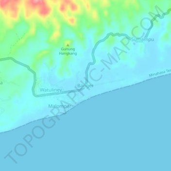
Name: Banger topographic map, elevation, terrain.
Location: Banger, Minahasa Tenggara, North Sulawesi, Sulawesi, Indonesia (0.94210 124.80110 0.98210 124.84110)
Average elevation: 49 ft
Minimum elevation: 0 ft
Maximum elevation: 371 ft