
Lebus topographic map
Interactive map
Click on the map to display elevation.
About this map
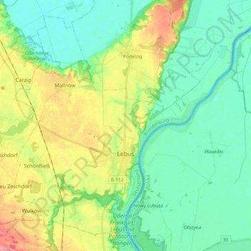
Name: Lebus topographic map, elevation, terrain.
Location: Lebus, Märkisch-Oderland, Brandebourg, Allemagne (52.39095 14.43029 52.48783 14.61126)
Average elevation: 112 ft
Minimum elevation: 20 ft
Maximum elevation: 312 ft