
Portnellan topographic map
Interactive map
Click on the map to display elevation.
About this map
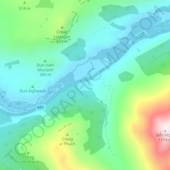
Name: Portnellan topographic map, elevation, terrain.
Location: Portnellan, Stirling, Scotland, FK20 8QS, United Kingdom (56.37679 -4.59430 56.41679 -4.55430)
Average elevation: 1,263 ft
Minimum elevation: 492 ft
Maximum elevation: 3,835 ft