
Mayence topographic map
Interactive map
Click on the map to display elevation.
About this map
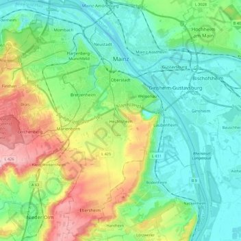
Name: Mayence topographic map, elevation, terrain.
Location: Mayence, Rhénanie-Palatinat, Allemagne (49.89553 8.14309 50.03530 8.34226)
Average elevation: 430 ft
Minimum elevation: 256 ft
Maximum elevation: 856 ft