
Tomatitas topographic map
Interactive map
Click on the map to display elevation.
About this map
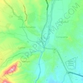
Name: Tomatitas topographic map, elevation, terrain.
Location: Tomatitas, Provincia Méndez, Tarija, TAR, Bolivia (-21.51627 -64.78143 -21.47627 -64.74143)
Average elevation: 6,417 ft
Minimum elevation: 6,198 ft
Maximum elevation: 6,932 ft