
Chinquapin topographic map
Interactive map
Click on the map to display elevation.
About this map
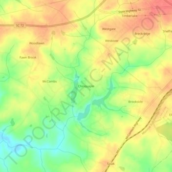
Name: Chinquapin topographic map, elevation, terrain.
Average elevation: 597 ft
Minimum elevation: 482 ft
Maximum elevation: 682 ft
Other topographic maps
Click on a map to view its topography, its elevation and its terrain.
Ninety Six
United States > South Carolina > Greenwood County
Ninety Six, Greenwood County, South Carolina, United States
Average elevation: 531 ft