Geolocate
👉 Easily get elevation data in JSON, GeoTIFF and KML formats using Elevation API
Thank you for supporting this site ❤️
Make a donation

Naranja topographic map

Click on the map to display elevation.

About this map

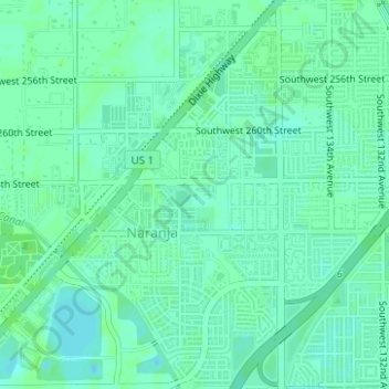
Name: Naranja topographic map, elevation, terrain.

Location: Naranja, Miami-Dade County, Florida, United States (25.50672 -80.44000 25.53479 -80.41237)

Average elevation: 16 ft

Minimum elevation: 0 ft

Maximum elevation: 26 ft

Miami-Dade County trails, hiking, mountain biking, running and outdoor activities

Gear up for your next adventure:

🔭Stargazing Telescopes - Perfect for camping in low-light pollution areas shown on maps
🛡️Bear Spray Outdoor - Protection in bear country hikes
🌎3D Topographic Globes - Raised relief globes for a tactile understanding of geography
🎒Hydration Pack - Hands‑free water reservoir for long hikes
🔥Fast-Boil Camping Stoves - Efficient cooking systems for quick trail meals

As an Amazon Associate, this site earns from qualifying purchases at no extra cost to you.