
Fish Springs National Wildlife Refuge topographic map
Interactive map
Click on the map to display elevation.
About this map
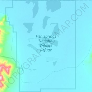
Name: Fish Springs National Wildlife Refuge topographic map, elevation, terrain.
Average elevation: 4,377 ft
Minimum elevation: 4,278 ft
Maximum elevation: 6,168 ft
Other topographic maps
Click on a map to view its topography, its elevation and its terrain.
Mount Nebo
United States > Utah > Juab County
Mount Nebo, Juab County, Utah, United States
Average elevation: 10,220 ft