
白碱滩区 topographic map
Interactive map
Click on the map to display elevation.
About this map
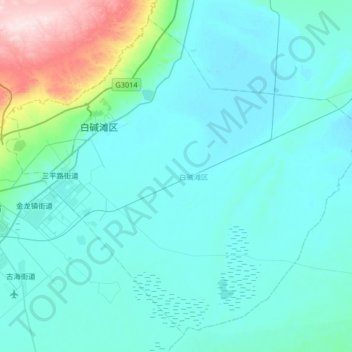
Name: 白碱滩区 topographic map, elevation, terrain.
Location: 白碱滩区, 克拉玛依市, 新疆维吾尔自治区, 中国 (45.41198 84.94256 45.82501 85.60016)
Average elevation: 1,066 ft
Minimum elevation: 846 ft
Maximum elevation: 2,953 ft
Other topographic maps
Click on a map to view its topography, its elevation and its terrain.