
Freihausen topographic map
Interactive map
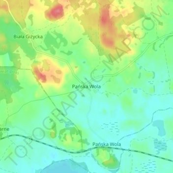
Click on the map to display elevation.
About this map
Name: Freihausen topographic map, elevation, terrain.
Average elevation: 459 ft
Minimum elevation: 381 ft
Maximum elevation: 627 ft
Other topographic maps
Click on a map to view its topography, its elevation and its terrain.
Luisenhof
Polen > Woiwodschaft Ermland-Masuren > Landkreis Lötzen > Siewken
Luisenhof, Siewken, Gemeinde Kruglanken, Landkreis Lötzen, Woiwodschaft Ermland-Masuren, 11-612, Polen
Average elevation: 463 ft