

Sahara topographic map
Click on the map to display elevation.
Sahara
The high position of the Sun, the extremely low relative humidity, and the lack of vegetation and rainfall make the Great Desert the hottest large region in the world, and the hottest place on Earth during summer in some spots. The average high temperature exceeds 38 to 40 °C (100.4 to 104.0 °F) during the hottest month nearly everywhere in the desert except at very high altitudes. The world's highest mean monthly maximum temperature was 47 °C (116.6 °F) in a remote desert town in the Algerian Desert called Bou Bernous, at an elevation of 378 metres (1,240 ft) above sea level; it is rivaled only by Death Valley, California.
About this map
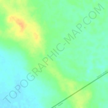
Name: Sahara topographic map, elevation, terrain.
Location: Sahara, Tazrouk, Tazrouk District, Tamanrasset, Algeria (22.24995 9.79995 22.25005 9.80005)
Average elevation: 2,133 ft
Minimum elevation: 2,087 ft
Maximum elevation: 2,195 ft