
Playa Tunquen topographic map
Interactive map
Click on the map to display elevation.
About this map
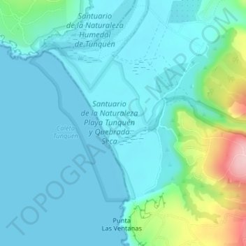
Name: Playa Tunquen topographic map, elevation, terrain.
Average elevation: 115 ft
Minimum elevation: 0 ft
Maximum elevation: 679 ft
Other topographic maps
Click on a map to view its topography, its elevation and its terrain.
Parque Canelo Canelillo
Chile > Región de Valparaíso > Provincia de San Antonio > Algarrobo
Parque Canelo Canelillo, El Canelo, Algarrobo, Provincia de San Antonio, Región de Valparaíso, Chile
Average elevation: 62 ft