Ashland Mill Dam topographic map
Interactive map
Click on the map to display elevation.
About this map
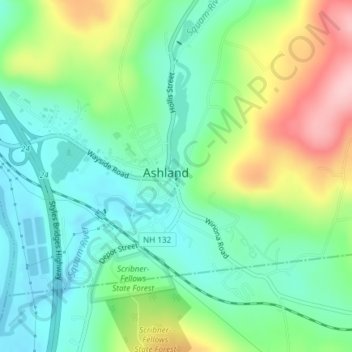
Name: Ashland Mill Dam topographic map, elevation, terrain.
Average elevation: 669 ft
Minimum elevation: 469 ft
Maximum elevation: 1,076 ft

Click on the map to display elevation.
Name: Ashland Mill Dam topographic map, elevation, terrain.
Average elevation: 669 ft
Minimum elevation: 469 ft
Maximum elevation: 1,076 ft