
Havre-Saint-Pierre topographic map
Interactive map
Click on the map to display elevation.
About this map
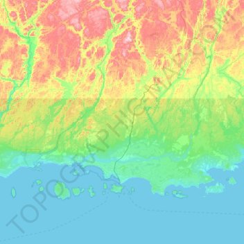
Name: Havre-Saint-Pierre topographic map, elevation, terrain.
Average elevation: 443 ft
Minimum elevation: -3 ft
Maximum elevation: 2,024 ft
Other topographic maps
Click on a map to view its topography, its elevation and its terrain.
Anticosti Island
Canada > Quebec > Minganie > Anticosti Island
Anticosti Island, Minganie, Côte-Nord, Quebec, Canada
Average elevation: 98 ft