
Chanco topographic map
Interactive map
Click on the map to display elevation.
About this map
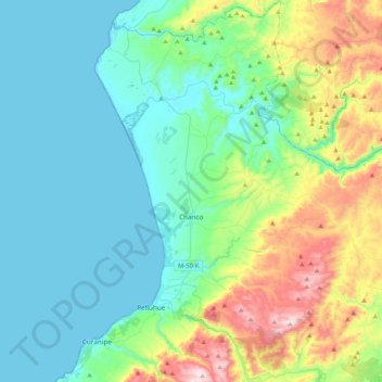
Name: Chanco topographic map, elevation, terrain.
Location: Chanco, Provincia de Cauquenes, Región del Maule, Chile (-35.88129 -72.63455 -35.54131 -72.32343)
Average elevation: 538 ft
Minimum elevation: -3 ft
Maximum elevation: 2,359 ft