
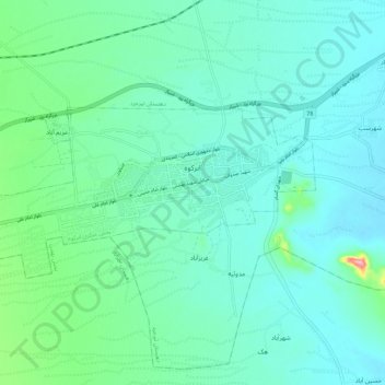
Abarkuh topographic map
Interactive map
Click on the map to display elevation.
About this map
Name: Abarkuh topographic map, elevation, terrain.
Average elevation: 4,970 ft
Minimum elevation: 4,882 ft
Maximum elevation: 5,394 ft
Abarkuh is located at an altitude of 1510 metres (4954 feet). An ancient living cypress tree, the Sarv-e-Abarqu, is located here.