
江边 topographic map
Interactive map
Click on the map to display elevation.
About this map
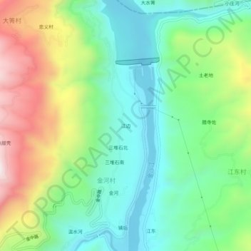
Name: 江边 topographic map, elevation, terrain.
Location: 江边, 金河村, 鹤庆县, 大理白族自治州, 云南省, 中国 (26.50031 100.39230 26.54031 100.43230)
Average elevation: 4,892 ft
Minimum elevation: 3,980 ft
Maximum elevation: 6,647 ft