
Gaiziņkalns topographic map
Interactive map
Click on the map to display elevation.
About this map
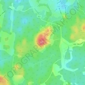
Name: Gaiziņkalns topographic map, elevation, terrain.
Location: Gaiziņkalns, Madonas novads, Vidzeme, Latvia (56.86999 25.95931 56.87009 25.95941)
Average elevation: 820 ft
Minimum elevation: 728 ft
Maximum elevation: 1,017 ft