
La Reforma topographic map
Interactive map
Click on the map to display elevation.
About this map
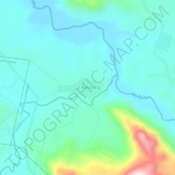
Name: La Reforma topographic map, elevation, terrain.
Location: La Reforma, Frontera Comalapa, Chiapas, México (15.68914 -92.22746 15.72914 -92.18746)
Average elevation: 2,133 ft
Minimum elevation: 1,854 ft
Maximum elevation: 3,366 ft